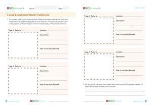
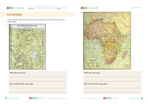
A map is a diagram that represents an area, usually from above. Maps can represent areas of all sizes – from the rooms in a house to the entire planet. The features and information shown on a map depend on its use.
Maps are used by people in many ways. A map of a building shows the location of rooms, offices, elevators, bathrooms and fire escapes.
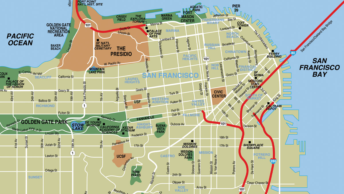
A road map shows the locations of roads and highways. Road maps are often used in digital form in cars and phones. They often display your location and provide directions.
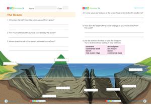
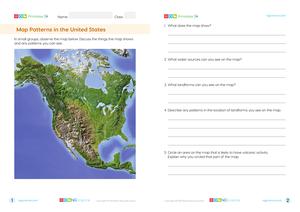
A physical map shows the locations of features of the Earth’s surface. They often use different colors to show the locations of mountains, plains, canyons and plateaus. They also show water sources such as rivers, lakes and the ocean. Water is commonly shown in blue.
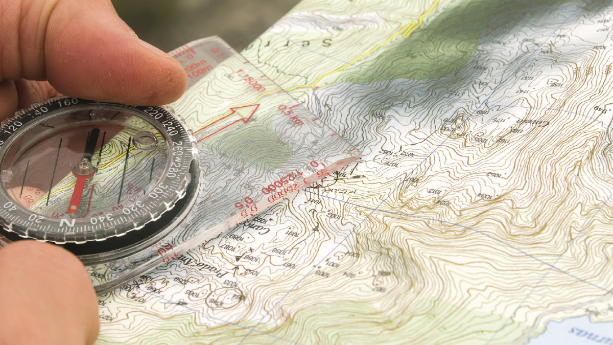
A topographical map is similar to a physical map in that it shows the features of the Earth’s surface. A topographical map uses lines called contour lines, to show changes in the height of the land. The contour lines connect points of equal elevation.
A political map shows the borders and boundaries of towns, cities, states and countries. A political map usually does not show physical features of the land or water.
A political map shows the borders and boundaries of towns, cities, states and countries.
Previous
Next
Navigational maps, often called charts, are useful for people traveling by sea. They include important information about the distances between places, the depth of the water and information that is important for avoiding accidents, such as the location of obstacles or shallow water.
Navigational maps are useful for people traveling by sea.
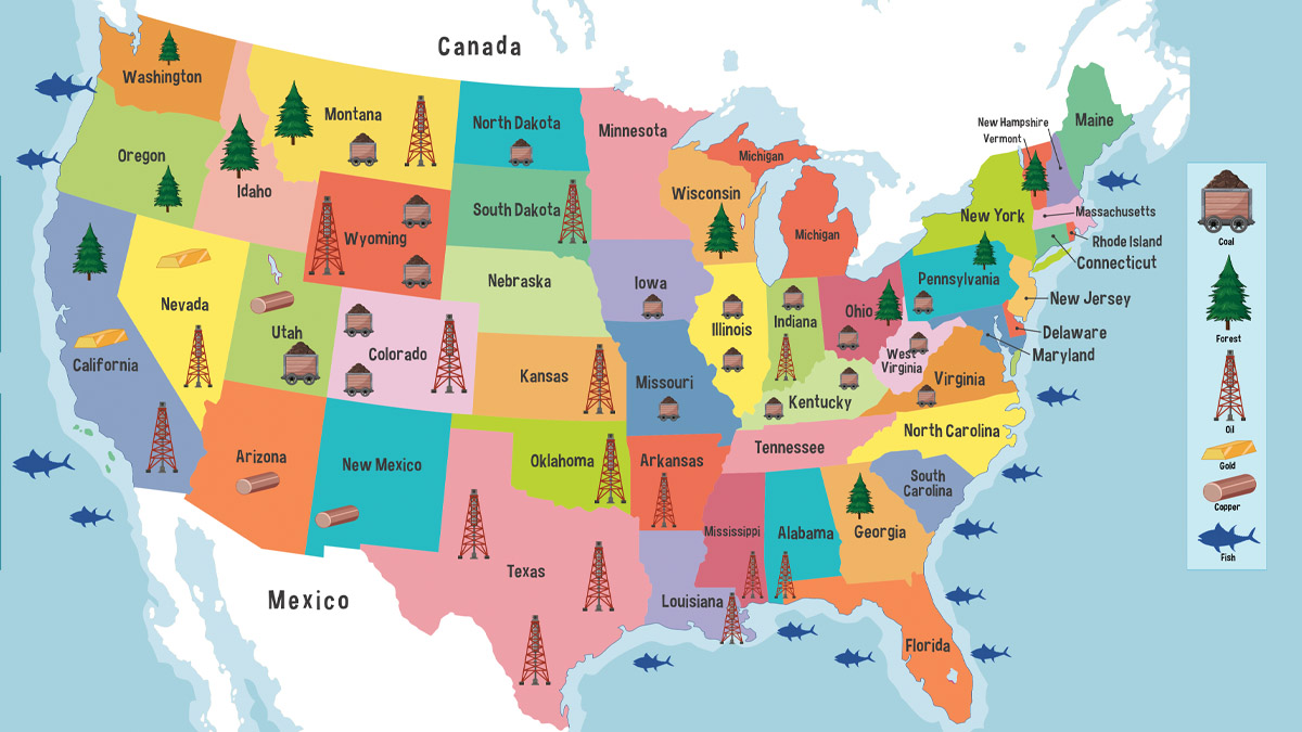
A resource is something that is taken from the Earth and used by people. A resource map shows the location of resources such as vegetation, trees, rocks, minerals and fuels like coal, oil and natural gas.
A resource map of the United States.
Digital maps are used for a wide range of purposes. They can include multiple layers to show a variety of information in one map. There may be layers for physical features, roads, temperature, vegetation type and climate.
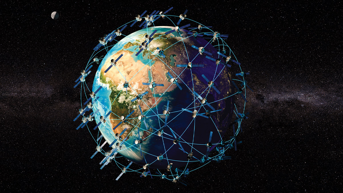
The Global Positioning System (GPS) is a series of satellites in space. The satellites send out signals of their location. Receivers on Earth, such as those in your mobile phone, use the distance from multiple satellites to calculate exactly where you are.
GPS was originally built for military purposes, but it’s now used by people all over the globe, in mobile phones, car navigation systems and by pilots and sailors.
The Global Positioning System (GPS) is a satellite-based navigation system that provides accurate location and time information anywhere on Earth.