Plains are wide, flat landscapes with little elevation. The size of plains can vary between a few hectares to hundreds of thousands of square kilometers. Being wide and flat also make plains suitable for farming.
Many plains were formed over time by the erosion of the land from nearby hills or mountains. Other plains were formed by the deposition of sediment by water or wind.
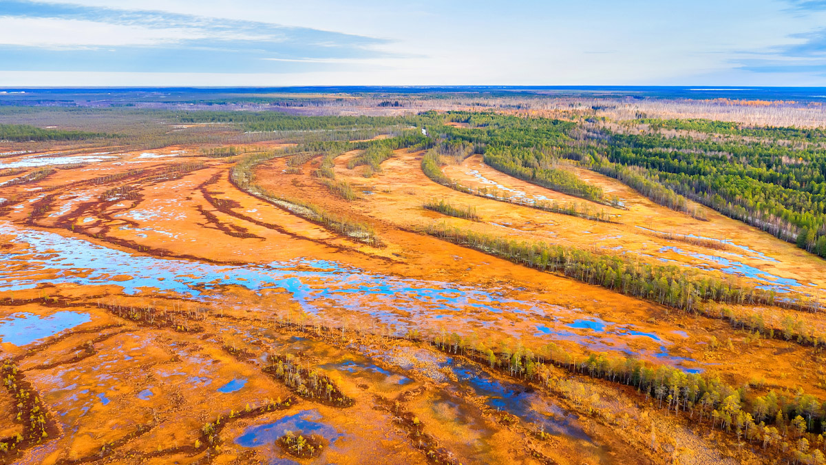
One of the largest plains on Earth is the West Siberian Plain in Russia. It stretches for more than 2,400 kilometers and covers an area of more than 2.6 million square kilometers.
West Siberian Plain in Russia.
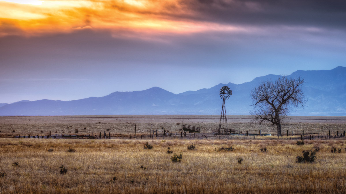
Another well-known example of a plain is the Great Plains in the United States. Spanning across multiple states from Texas to Montana, it’s a large flat area of land, known for its rich soil suitable for extensive agriculture.
Great Plains in the United States.
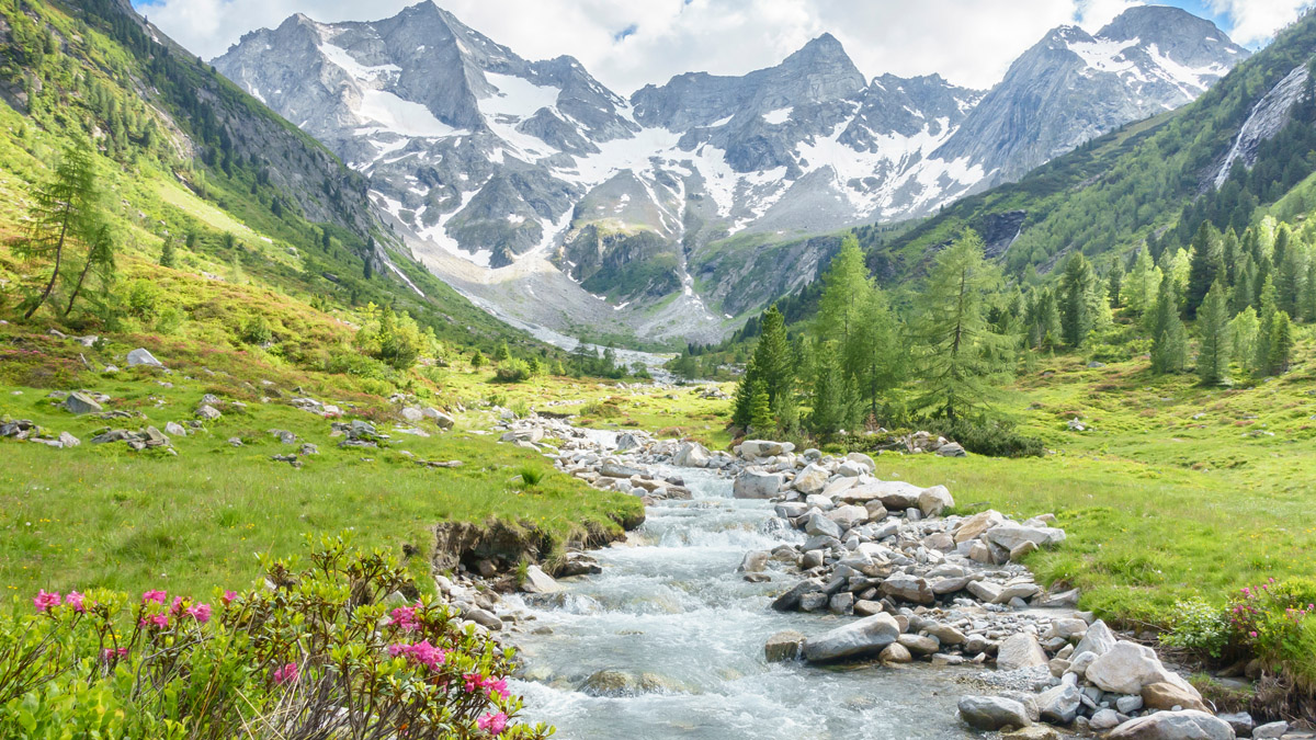
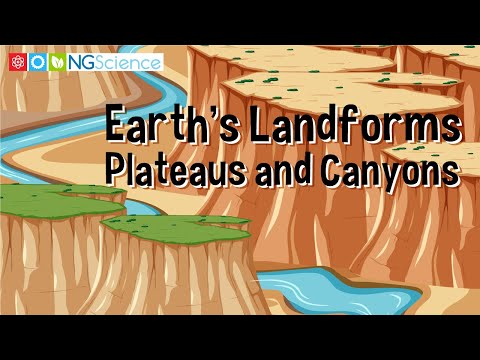
A valley is a low-lying area between mountains or hills. Often, water flows through a valley as streams or rivers. Some valleys are formed by the weathering and erosion of glaciers and have a u-shape. Others are formed by running water such as a river or stream and have a v-shape.
Weathering and erosion from rivers and streams often give valleys a 'V' shape.
The Napa Valley in California, United States, is a low-lying area situated between hills and is shaped by the flowing Napa River. This river has, over a long time, worn away the land, causing erosion and weathering that have given the Napa Valley its distinctive v-shape, which is common among valleys formed by running water.