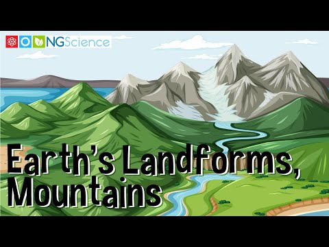
A mountain is a high landform, much taller than the land around it. Unlike hills, which are also high ground, mountains are typically steeper and taller. The top part of a mountain, known as the peak, can either be sharp like a point or rounded like a dome.
Mountains form in two primary ways. One way is through the movement of Earth’s tectonic plates, the large pieces of Earth’s surface beneath us. When these plates push against each other, the pressure forces the ground to rise, gradually forming mountains over a long period.
Mount Everest is the Earth’s highest mountain above sea level, with a height of 8,850 meters. The mountain was formed by the pushing of the Indian tectonic plate against the Asian tectonic plate. Scientists estimate that the mountain is about 50 to 60 million years old. Mount Everest gets taller by about a quarter of an inch every year.
Mount Everest is the highest mountain on Earth, formed over millions of years as the ground was pushed up by natural forces beneath the Earth's surface.
Another way mountains can form is through volcanic eruptions. When a volcano erupts, it releases lava and ash. These materials harden and pile up around the volcano’s opening. After many eruptions, these hardened layers can build up to create a mountain.
Mount Fuji formed over the past million years due to repeated volcanic eruptions. These eruptions produced layers of ash and lava, which hardened over time, creating the mountain’s conical shape.
Mount Fuji is a mountain in Japan that was formed over many years due to multiple volcanic eruptions, which created layers of hardened lava and ash.
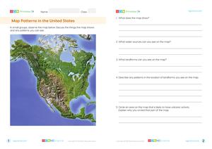
Often, mountains are found in groups, which we refer to as mountain ranges. A mountain range is a series of mountains that are located close together. Some examples of mountain ranges are the Rocky Mountains in North America and the Himalayas in Asia.
The Rocky Mountains, also known as the Rockies, extend approximately 4,800 kilometers from the northernmost part of British Columbia, in western Canada, to New Mexico, in the Southwestern United States.