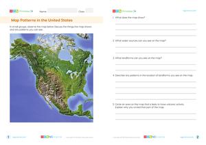
A canyon, also called a gorge, is a deep, narrow channel that runs through steep slopes or cliffs. Canyons are created by weathering and erosion of uplifted sedimentary rock usually caused by a river running through it.
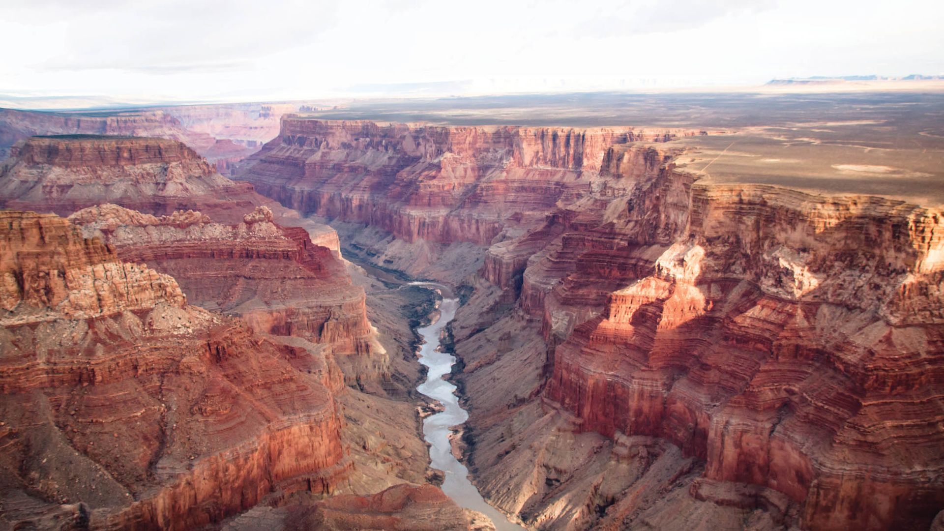
The formation of canyons usually takes millions of years. The Grand Canyon, a renowned canyon in the United States, demonstrates how powerful erosion and weathering can be. This deep, narrow landform, with its steep slopes and cliffs, was formed primarily by the Colorado River carving its way through layers of rock over an estimated five to six million years.
The Grand Canyon is impressive not only in length, at about 446 kilometers, but also in depth, reaching over 1.8 kilometers down at its deepest point.
The Grand Canyon, a vast and deep gorge in the United States, showcases the power of the Colorado River's erosion over millions of years.
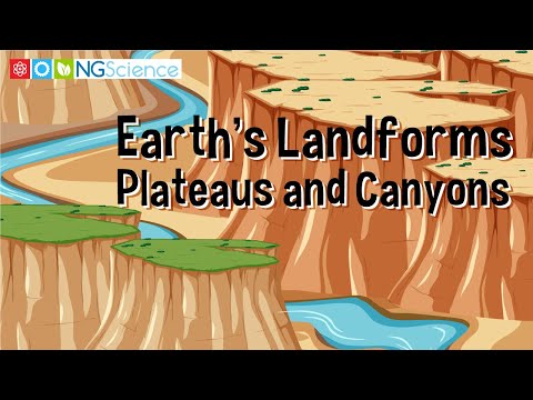
A plateau, also called a high plain or tableland, is flat terrain that elevates sharply from the surrounding land on at least one edge.
Plateaus can form in a number of ways. A dissected plateau forms as the result of the upward movement of the Earth’s crust. A volcanic plateau is formed by the flow of lava as the result of numerous volcanic eruptions.
Plateaus can also be formed by the erosion of the surrounding area, leaving part of the terrain above ground, surrounded by steep ledges. The erosion of the Grand Canyon by the Colorado River has formed many plateaus.